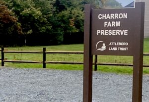
Sign at Charron Farm

Charron Farm Preserve to Open on October 10

The Attleboro Land Trust is pleased to announce the opening of its newest property, the Charron Farm Preserve on Morse Avenue in Attleboro. The public is invited to attend the dedication ceremony on Saturday, October 10, at 1:00 PM. The rain date will be October 11. The preserve was generously donated to the land trust in 2023 by members of the Charron family. Following a brief formal program, attendees will have the opportunity to take a guided walk of the newly opened trail.

The Attleboro Land Trust is a non-profit organization that preserves 740 acres in the Attleboro area through direct ownership or conservation restrictions. The Charron Farm Preserve encompasses 12 acres and now includes a hiking trail around a hay field and former farmland. It is a key acquisition that has the potential to connect additional public conservation acreage, while it provides an opportunity for outdoor recreation in the city and further promotes species conservation and a healthy environment.

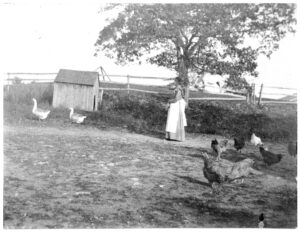
The Charron property represents agriculture in the Attleboro area across the twentieth century. It was typical of small family farms that grew a variety of crops and livestock and witnessed the arrival of such modern conveniences as electricity and tractors. Many farms were run by intergenerational households with members who also worked in Attleboro industry; the donors’ father, Theodore Henry Charron, was a tool and die maker. In 1959, parts of the farm were leveled to provide gravel for the construction of Interstate 95.

Directions: From downtown Attleboro, take County Street south for 3.8 miles. Turn right onto Read Street and drive 1/2 mile. Turn left onto Morse Avenue and drive 1/4 mile. Turn into the gravel parking area on your right.

Any cancellations due to weather will be posted at attleborolandtrust.org.
A Successful Season

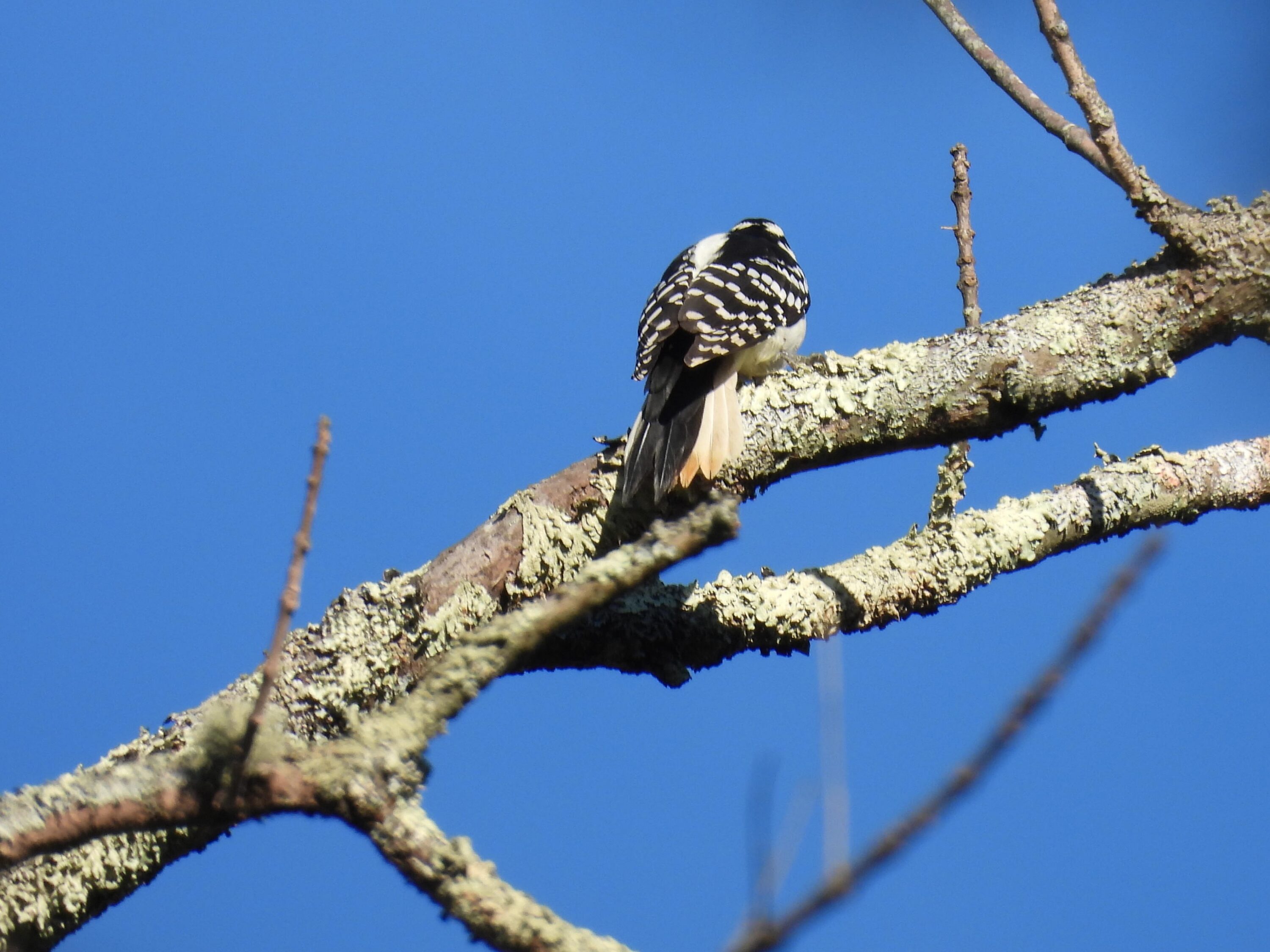
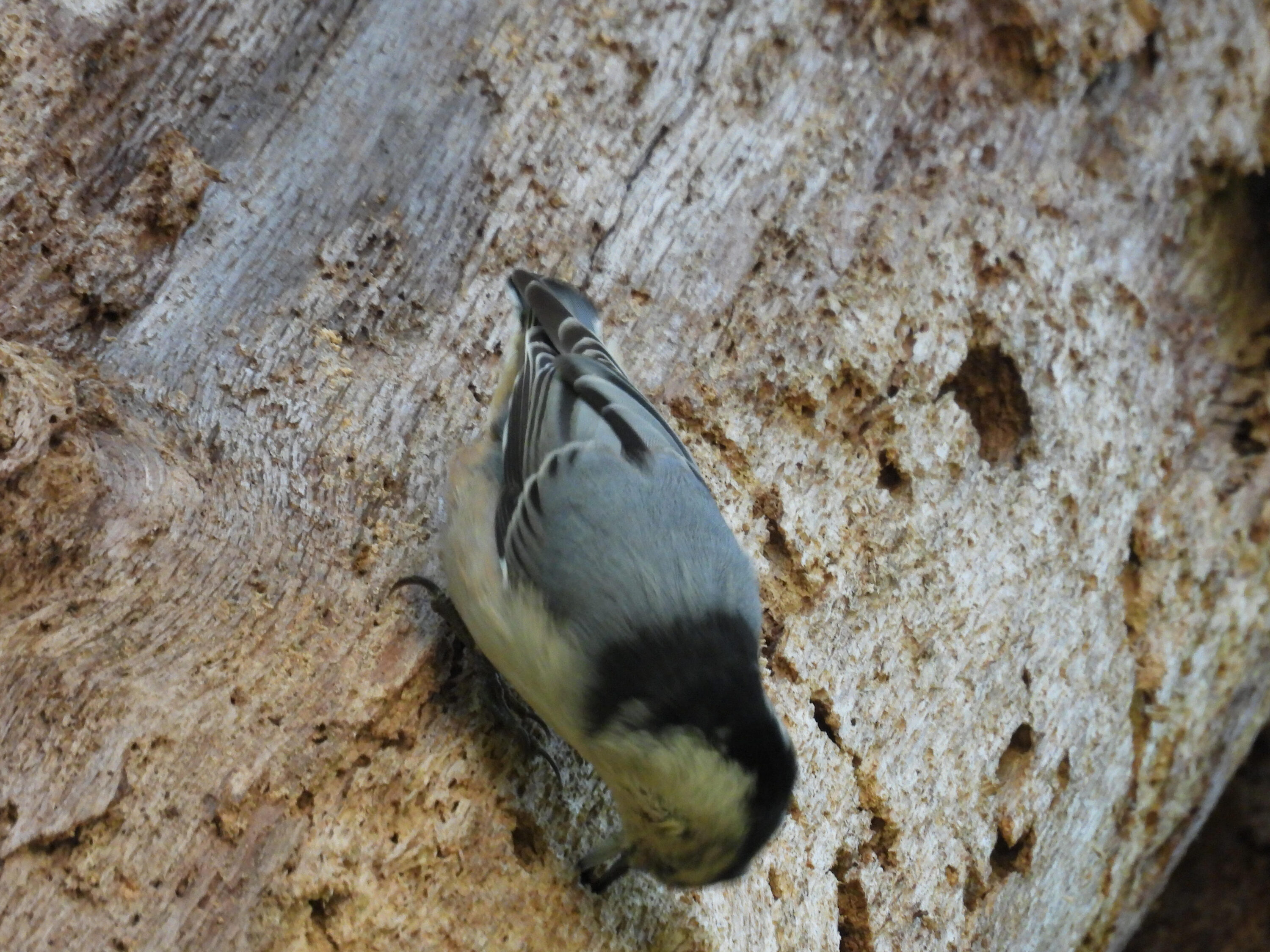
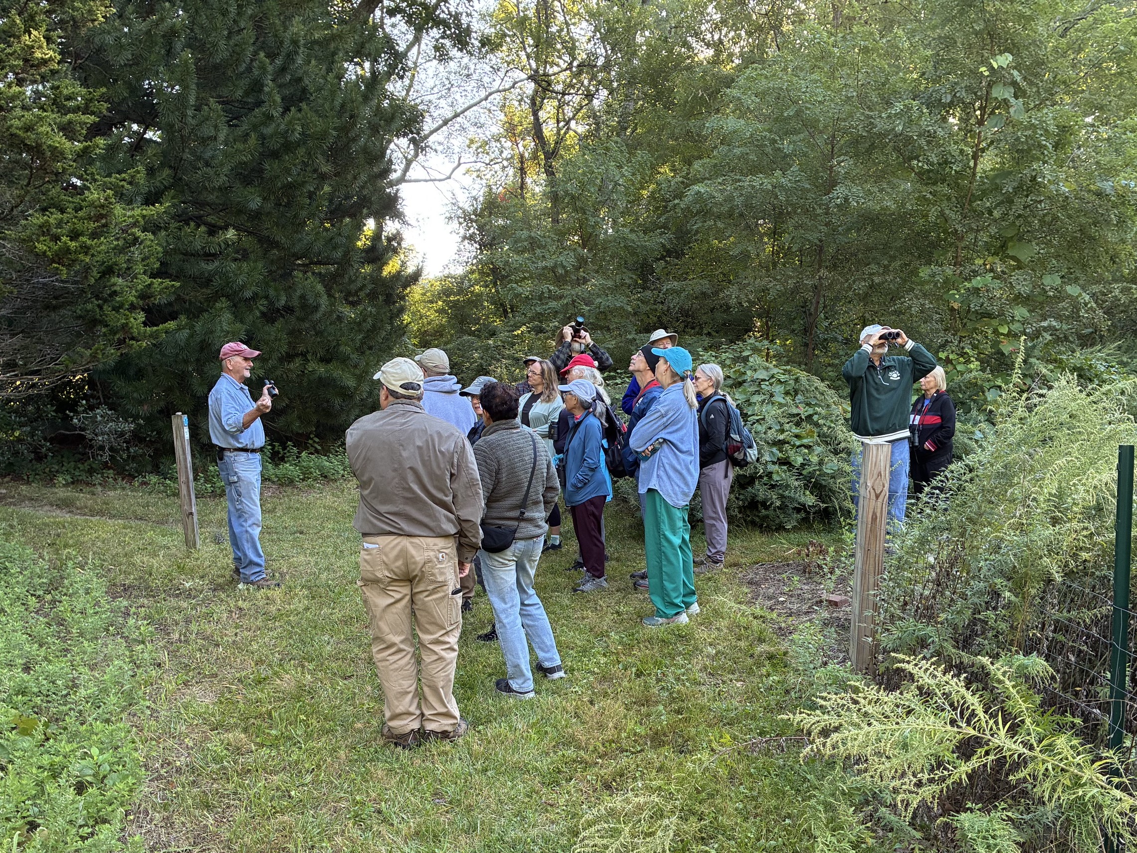
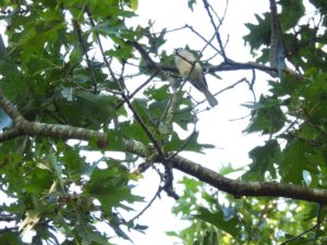
The Attleboro Land Trust concluded its summer series of outdoor events on Saturday with a birding walk at Richardson Nature Preserve. Led by ALT Board member JR Johnson-Roehr, a group of 19 gathered in the early morning to scout the meadows, woods, and gardens for late-season birds. Their efforts were rewarded with great looks at a trio of Downy Woodpeckers, a garrulous group of Gray Catbirds, the nimble movements of a White-Breasted Nuthatch, a Mourning dove imitating a puff-ball as it warmed itself on a sunlit branch, and the frequent vocalizations of local Blue Jays. Perhaps the best moment of the day was witnessing the flight of a large flock of Common Grackle as the black birds came together for a fall migration flight.

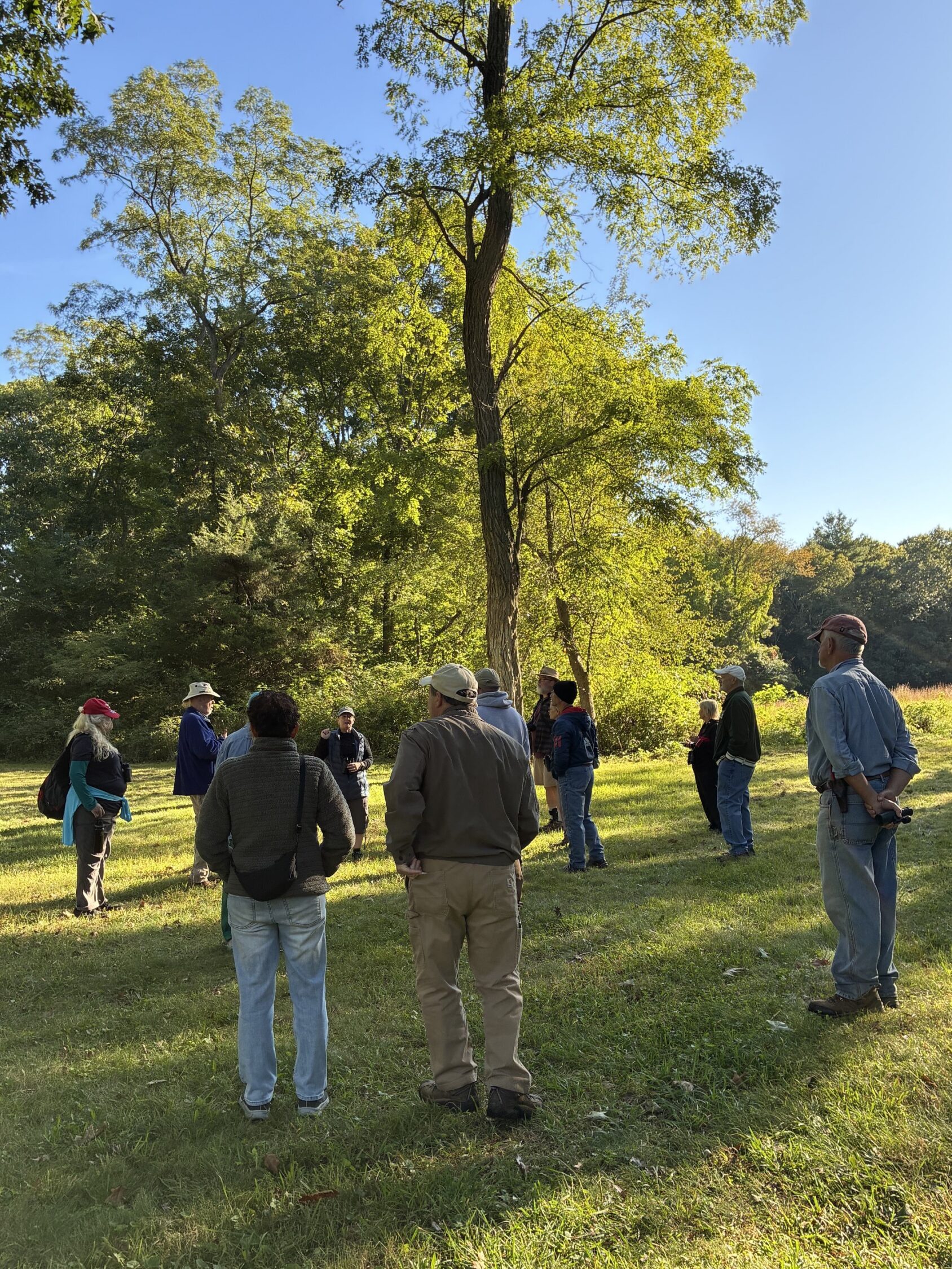
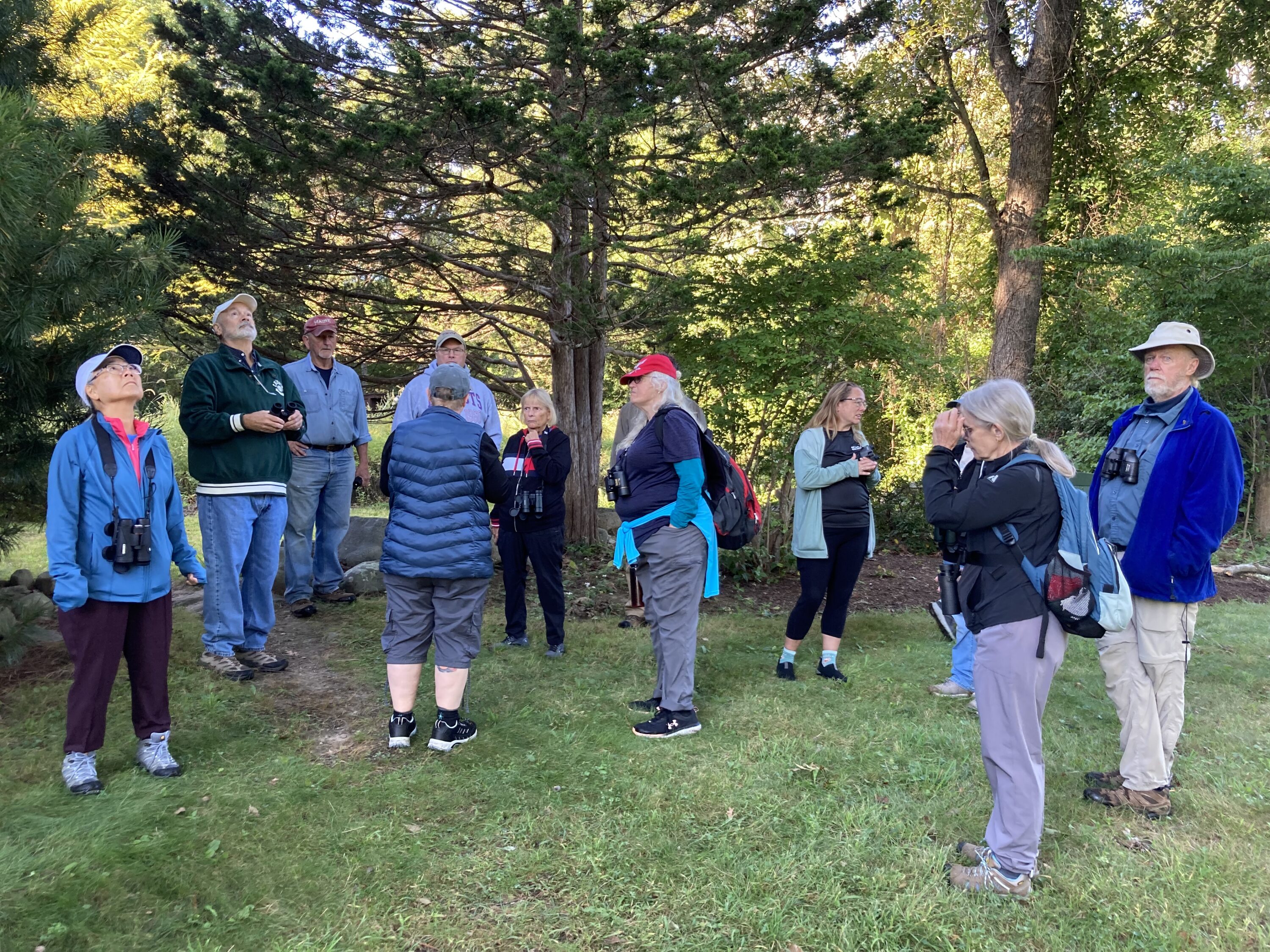
A group gathers under a tree.

Early morning birding advice.    Image credit: Catherine Johnson-Roehr

Learning about birds and trees.    Image credit: Kate Viens

Black and white back of downy woodpecker.

Downy Woodpecker.    Image credit: Paul Viens

White-breasted nuthatch on tree.

White-Breasted Nuthatch.    Image credit: Paul Viens

ALT Vice President and horticulturist Phil Boucher, who started off our summer events with a well-attended tree walk at Richardson Preserve, also joined the group. He provided details about history of the property and answered questions about the trees as we scoured their branches for birds.

Phil Boucher talks about trees.    Image credit: Catherine Johnson-Roehr

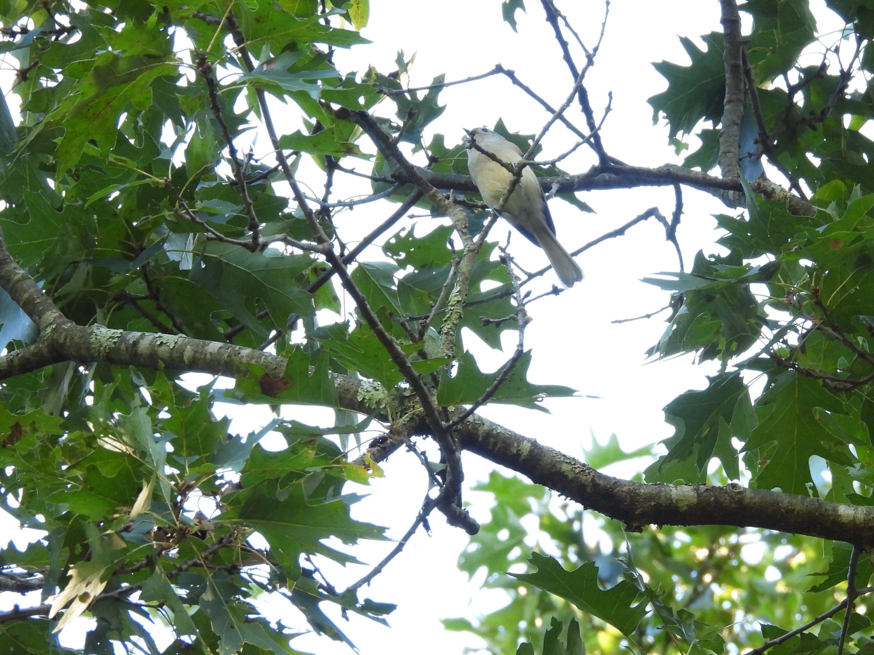
Tufted titmouse in the leaves.

Tufted Titmouse.    Image credit: Paul Viens

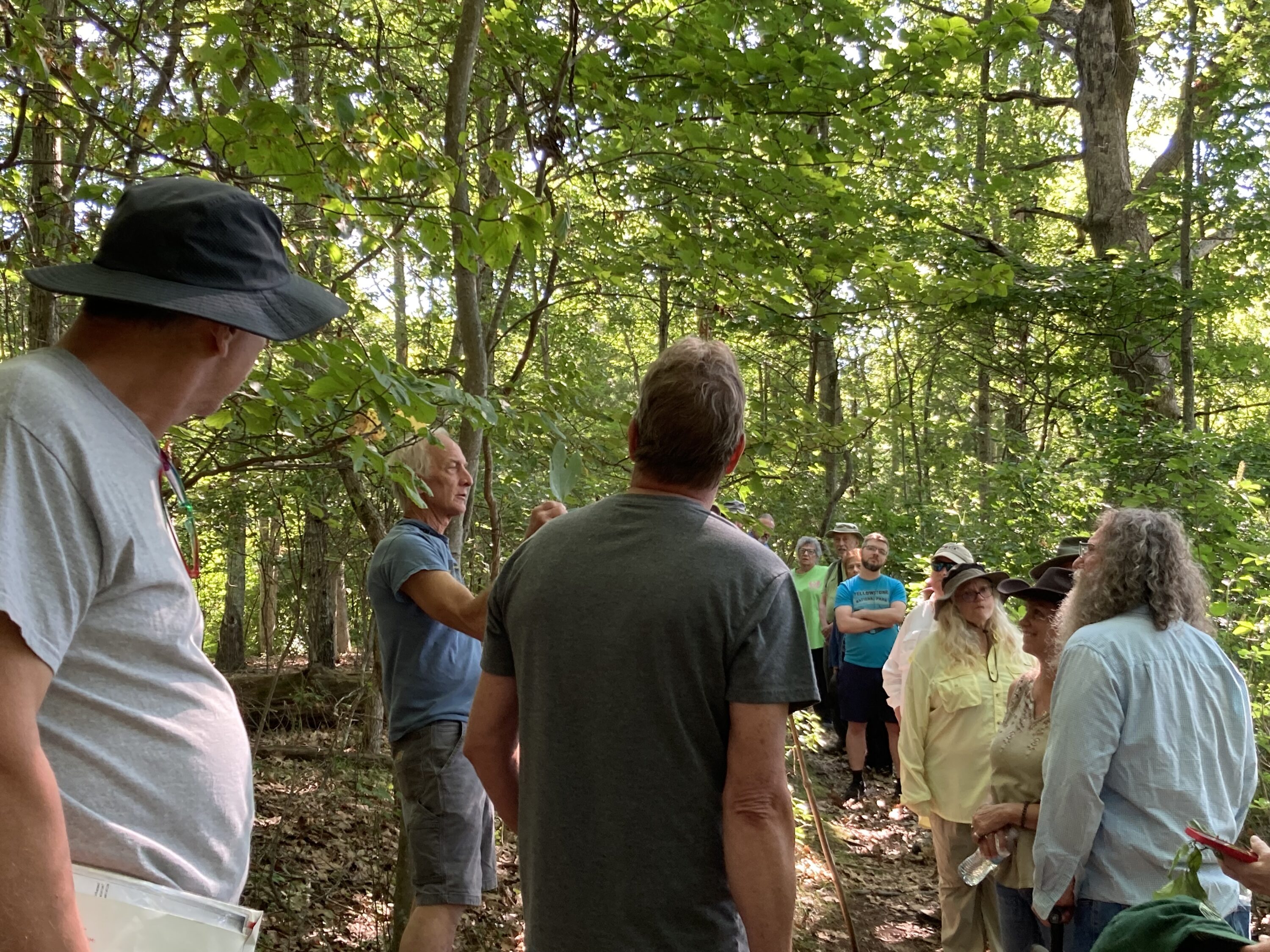
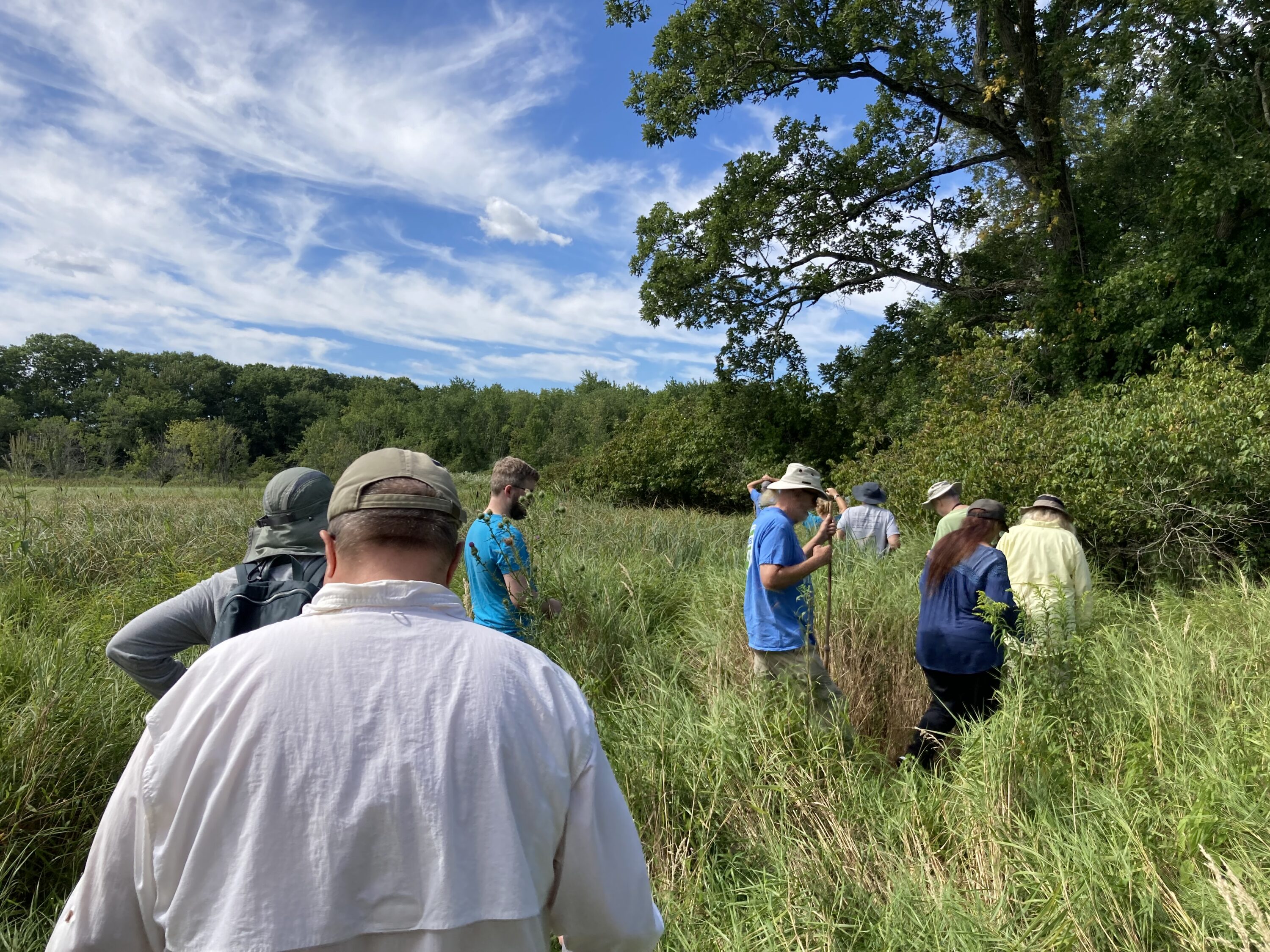
In August, naturalist Gary Krofta led a guided walk through the Lawrence Wildlife Preserve in South Attleboro. Because of the dry weather, attendees were able to explore deep into the marsh. After circumambulating the wooded section of the preserve, 22 intrepid adventurers joined Gary on a journey into shoulder-high grasses and over uneven ground to explore the shifting habitats along the Seven Mile River.

Gary Krofta holds up a sassafras leaf.

Gary Krofta shares some words about sassafras.    Image credit: Kate Viens

A group of people heading into tall grass.

Heading into the marsh at Lawrence Wildlife Preserve.    Image credit: Kate Viens

We hope you were able to enjoy one of these outings with us! Keep an eye on our events calendar and look for an announcement about our annual meeting to arrive soon.

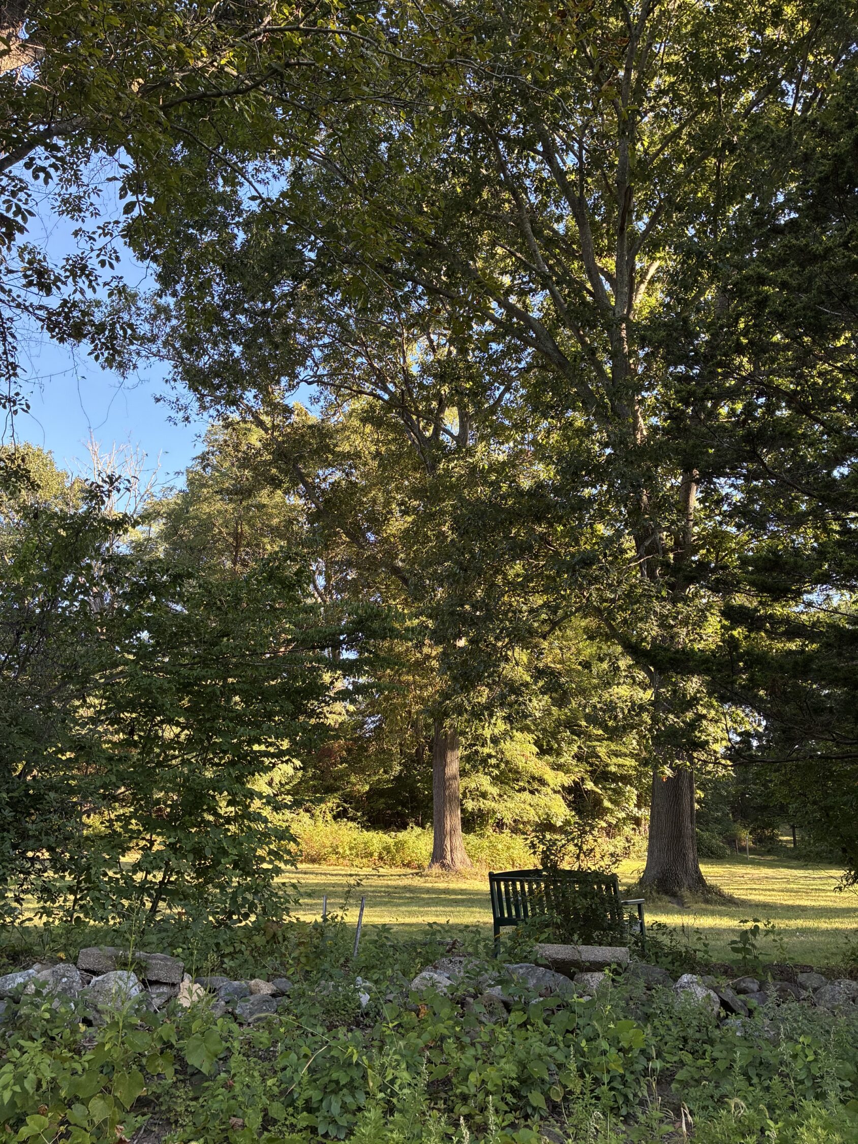
Bench under tree.

A place to rest at Richardson Nature Preserve.    Image credit: Catherine Johnson-Roehr

Group of people in summer clothes standing near trees.

Beholding the Beauty of Trees

Recently, Attleboro Land Trust board member and horticulturalist Phil Boucher led a group of enthusiastic learners on a “Beholding the Beauty of Trees” walk at Richardson Nature Preserve. The group heard about Red/Black and White Oaks, the suffocating threat of bittersweet vine, and how trees of different species may communicate with and support each through their root systems. Many thanks to Phil for generously sharing his time and knowledge, it was so fun to hear his stories about the evolution of the site’s gardens as well as learn more about the native roots and branches!

Please join us for one of our upcoming nature walks! Check our our schedule of events here.

Phil Boucher holding a tree branch.

Phil Boucher shows off the trees at Richardson Nature Preserve.    Image credit: Catherine Johnson-Roehr

Richardson Nature Preserve.    Image credit: Catherine Johnson-Roehr

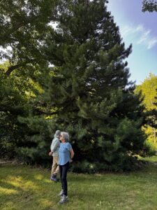
Man and woman admiring conifer trees.

Beholding the beauty of trees at Richardson Nature Preserve.    Image credit: Catherine Johnson-Roehr


Don Doucette, Devoted Steward of Our Watershed

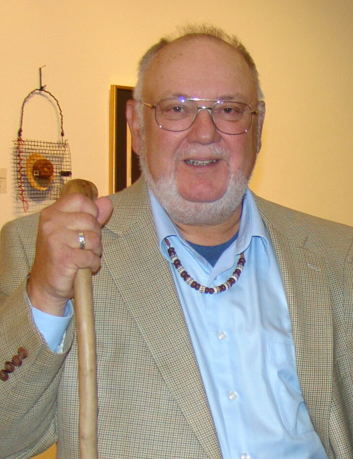
Don Doucette at the 2011 Attleboro Land Trust Annual Meeting.

Don Doucette, long-time advocate of watershed conservation, passed away on May 9.  Don was devoted to the preservation of our local environment and its history.  He was a founding member of the Ten Mile River Watershed Alliance (TMRWA) in 1990, and he with his wife Nancy were early members and supporters of the Attleboro Land Trust, which was founded that same year.

A partnership between the two organizations resulted in the donation of Larson Woodland to the land trust by Ray Larson in 1997.  Don played a key role in that acquisition.  Earlier, in 1996, the TMRWA had dedicated a 3-mile urban trail beginning at Balfour Riverwalk Park and following the Ten Mile River upstream as far as West Street.  A guide to the Ten Mile River Heritage Trail, written by Don, described historic stopping points along the route.

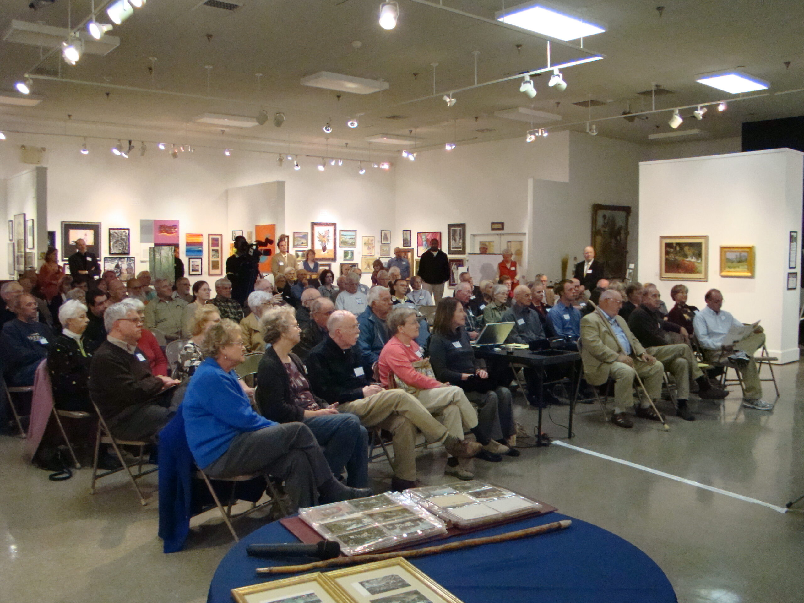
2011 Attleboro Land Trust Annual Meeting.

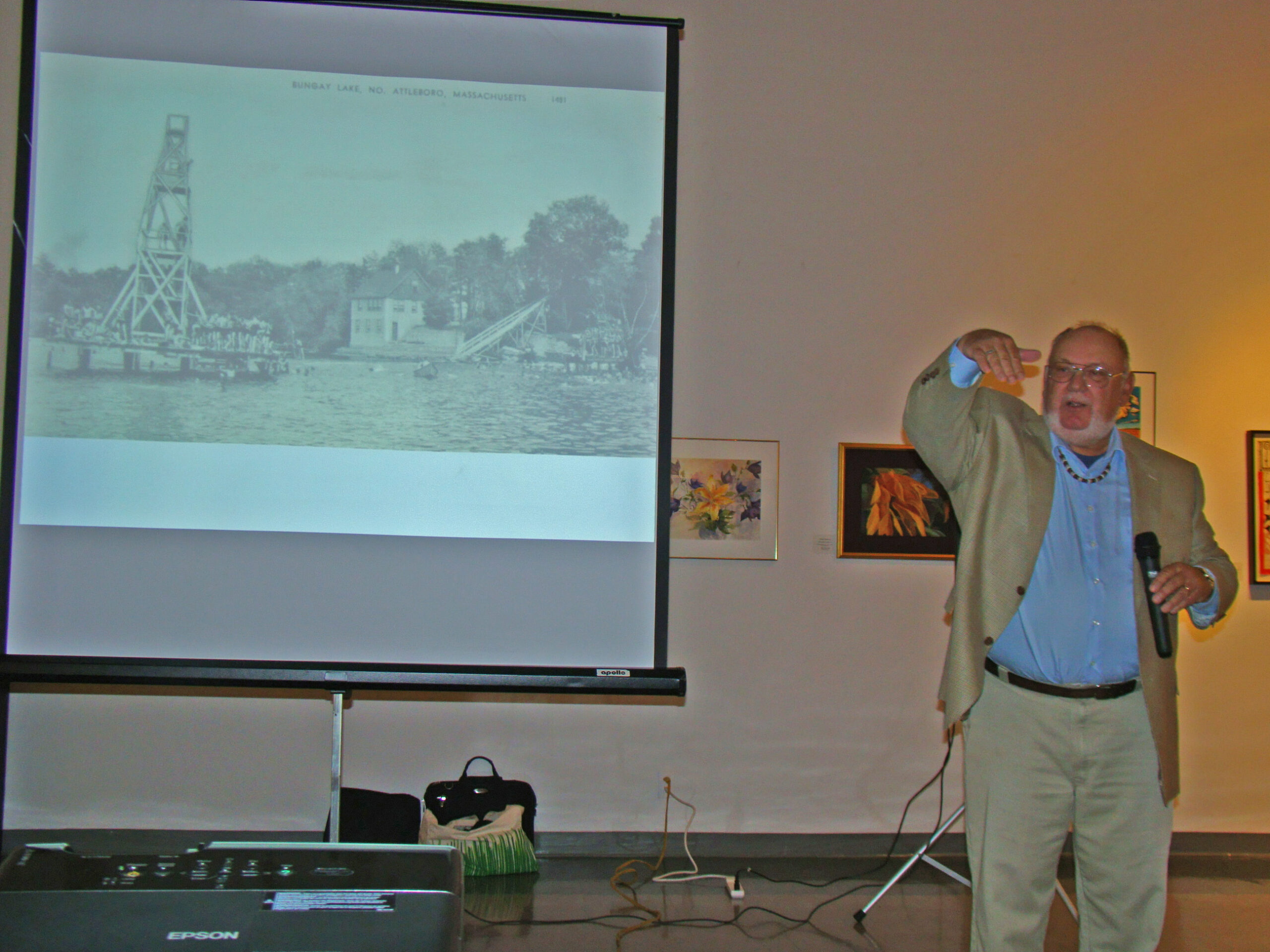
One of the land trust’s most memorable annual meetings was in 2011, when Don was our keynote speaker.   His talk, “The Ten Mile River Watershed:  A Walk Through Time,” was accompanied by a stunning slide show consisting of mostly of postcards he had collected of scenes photographed up and down the Ten Mile during the early decades of the twentieth century.  Don’s authoritative grasp of his subject reflected not only painstaking research, but the fact that, with fellow TMRWA member Mark Benoit, he had trekked the entire 27-mile length of the river, from Plainville to East Providence, in 2 days in 1995.

Keynote speaker Don Doucette at the 2011 Attleboro Land Trust Annual Meeting.

Of his motive, Don wrote, “The primary intent was adventure–to cross, as does water, all human imposed, social and physical bounds that tend to fragment the Ten Mile River Watershed. Envisioned was a more intimate encounter with the river–we were not disappointed.”


Hike to Angle Tree Stone

The North Attleboro Land Trust Steering Committee invites you to join them on a guided hike of the Chorney Property and nearby Angle Tree Stone on Sunday, November 14th at 2pm.

The Chorney Property is town land managed by the North Attleboro Conservation Commission.

The Angle Tree Stone is a nine-foot slate monument made in 1790 by a father and son team that manufactured gravestone markers. It replaced an actual tree that had long been used as a boundary marker between the Massachusetts Bay and Plymouth colonies. Today, the Angle Tree Stone marks the border between North Attleborough and Plainville, as well as the boundary between Bristol and Norfolk counties.

Hikers will meet at the parking lot for the Chorney Property, on Ellis Road across from the intersection with Metcalf Road. The hike will first walk the Chorney trails, through three open fields and over a boardwalk which crosses the Seven Mile River. Hikers will then walk 1.3 miles, via Ellis Road, High Street, a side road, and a path, to the Angle Tree Stone monument. After viewing the monument, hikers will return by the same route to the Chorney parking lot. The total length of the hike will be 4 miles.

Participants under 18 must be accompanied by an adult. The rain date is November 21.  Any cancellations will be posted on the Attleboro Land Trust website: attleborolandtrust.org

Questions, please contact Susan Taylor at susan@susantaylorconsulting.com or 774-251-4616.

Here is a map of the hike area:  Angle Tree Hike – Map

Be like Sisyphus

As noted in a previous post, the Attleboro Land Trust is participating in the annual Big Read program of the Attleboro Public Library.  This year, the entire community is reading the book Circe, a story about Greek gods and goddesses by Madeline Miller.

If you are visiting the Phil and Ginny Leach Wildlife Sanctuary to do the Virtual Mythology Scavenger Hunt, be sure to visit Big Rock before you leave.  This glacial boulder serves as a reminder of Sisyphus, a character from Greek mythology not mentioned in the book.  Sisyphus was a dishonest and greedy king who was punished by being forced to roll a huge boulder up a hill, over and over again for eternity.  Whenever Sisyphus got to the top of the hill, the boulder would roll down again.

We invite you to take a selfie with Big Rock and post it on our Facebook page or send it to us.

Guided Walk on July 13: The History of Barrows Farm

Guided Walk:  The History of Barrows Farm
Location:  Deborah and Roger Richardson Nature Preserve, 577B Wilmarth Street, Attleboro
Time:  9:00 – 10:30 am, Saturday, July 13 (Rain date: July 20)
The Attleboro Land Trust is sponsoring a series of guided walks at its nature preserves in Attleboro.  The first, at the Deborah and Roger Richardson Nature Preserve, will be a journey back to colonial times, when the Barrows family lived off the land through farming and the manufacture of wood products.  Leading the walk will be Bill Lewis, who will point out evidence of the various activities which once took place on the land.
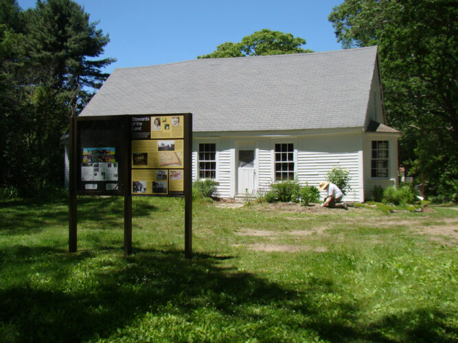
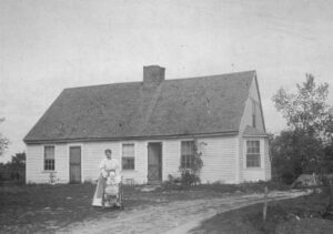
The Barrows House, built in 1708, still stands on the Richardson Preserve.  Note:  The guided walk will not include the interior of the house.
See 2019 ALT Guided Walks – Flyer for information on the complete series of guided walks.

Barrows House Offers View Into Attleboro History

Bill Lewis got involved with the Deborah and Roger Richardson Preserve through serving as a site steward along with other members of the Attleboro Geocachers Alliance.  After helping to repair the exterior of the Barrows House, his passion for history led him to dig deep into historical records for the property and the family that lived there for more than two centuries.  Drawing on these records, as well as a general knowledge of how colonists were able to survive and prosper using the technology of the times, Bill has developed a detailed history of the Barrows House and farm.

He shared this story at a meeting of the Attleboro Historic Preservation Society on March 21.  For a short interview with Bill, check out this YouTube clip by our local cable company, DoubleACS:

Barrows House Video