The Handy Street Conservation Area is an 80-acre parcel of land purchased by the City of Attleboro in 2014 with the involvement of the Attleboro Land Trust and Mass Audubon, and a substantial grant from the Commonwealth of Massachusetts. There are trails crisscrossing the area, making it easy to get lost on the property. The Attleboro Land Trust has designated a main trail route that utilizes some of the existing paths to form a loop, beginning and ending at the main entrance on Handy Street.

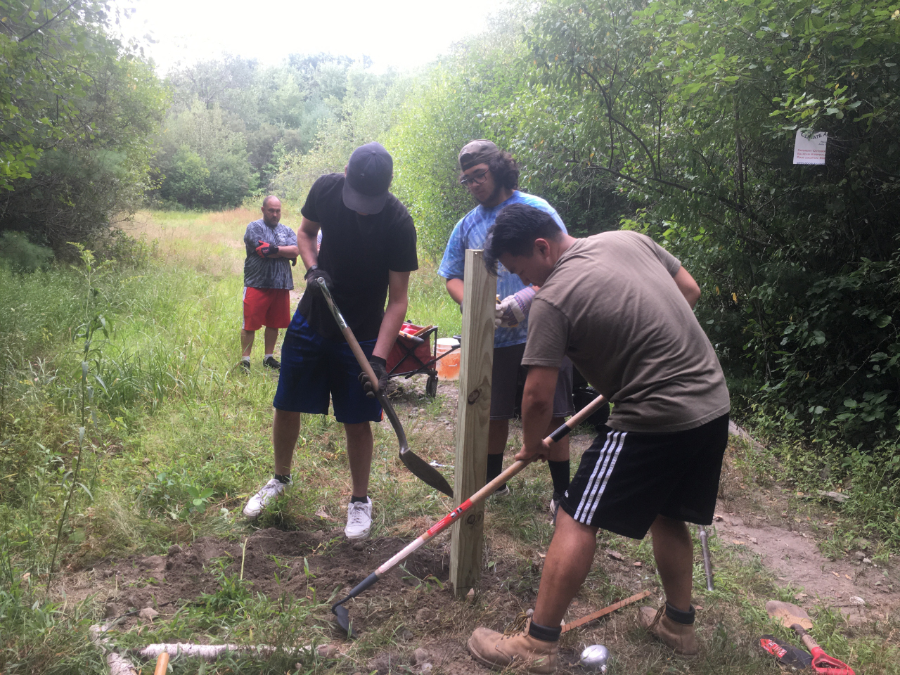
Scout Jason Zenofsky (right) with crew installing signposts at the Handy Street Conservation Area. Image credit: C. Adler
Scout Jason Zenofsky of Troop 61 in Norton has completed an Eagle project that involved the installation of directional signposts at 33 trail junctions along the route. Digging holes to a depth of two feet for each of these posts was challenging, to say the least. Sometimes the problem was large rocks. At other times the Scouts hit hardpan, which is soil that has hardened like concrete and has to be chipped away with a heavy iron bar in the shape of a chisel. Thankfully, Jason and his crew persevered, and the signposts were all installed.

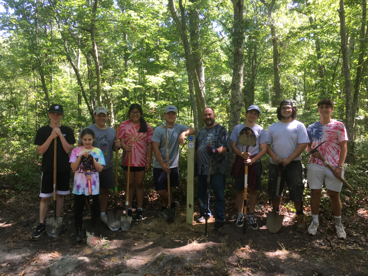
Scout Jason Zenofsky (next to signpost) with his crew after installation of 33 signposts at the Handy Street Conservation Area. Image credit: C. Adler
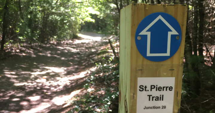
In the spring, the ALT will put the finishing touches on the trail, which will be named in memory of Larry St. Pierre, who served as ALT president from 1991 to 1994 and 1997 to 2001. A temporary map of the trail is available here.

