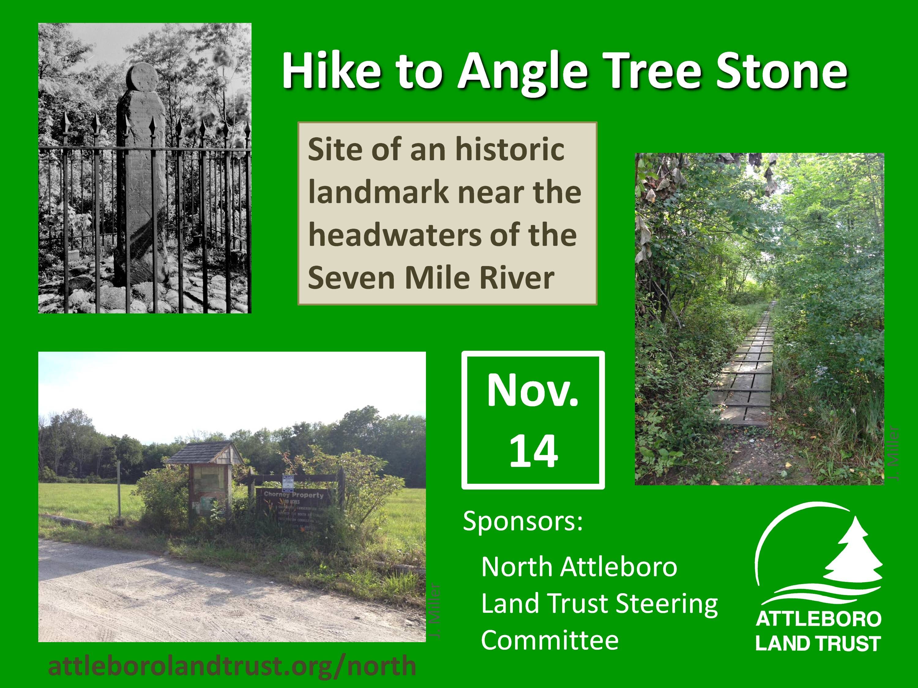
The North Attleboro Land Trust Steering Committee invites you to join them on a guided hike of the Chorney Property and nearby Angle Tree Stone on Sunday, November 14th at 2pm.
The Chorney Property is town land managed by the North Attleboro Conservation Commission.
The Angle Tree Stone is a nine-foot slate monument made in 1790 by a father and son team that manufactured gravestone markers. It replaced an actual tree that had long been used as a boundary marker between the Massachusetts Bay and Plymouth colonies. Today, the Angle Tree Stone marks the border between North Attleborough and Plainville, as well as the boundary between Bristol and Norfolk counties.
Hikers will meet at the parking lot for the Chorney Property, on Ellis Road across from the intersection with Metcalf Road. The hike will first walk the Chorney trails, through three open fields and over a boardwalk which crosses the Seven Mile River. Hikers will then walk 1.3 miles, via Ellis Road, High Street, a side road, and a path, to the Angle Tree Stone monument. After viewing the monument, hikers will return by the same route to the Chorney parking lot. The total length of the hike will be 4 miles.
Participants under 18 must be accompanied by an adult. The rain date is November 21. Any cancellations will be posted on the Attleboro Land Trust website: attleborolandtrust.org
Questions, please contact Susan Taylor at susan@susantaylorconsulting.com or 774-251-4616.
Here is a map of the hike area: Angle Tree Hike – Map
